Drone Services
Professional drone services provided by experienced, certified, insured remote pilot specialists acquiring amazing aerial footage in a safe, legal and responsible way.
Some of our clients include:
Service Provided
- Aerial Photography
- Aerial Video
- Inspection Services
- Mapping & Surveying
- 3D Modeling
- Photogrammetric Measurement
- Residential Real Estate Photography
- Commercial Real Estate Photography
- Marketing Imagery
Department Leadership


Construction Documentation

Water Tower Inspection
Timely response following damaging wind event, providing up-close view of potentially dangerous situation.

Water Tower Inspection
Local government maintains current records of infrastructure including condition. Drone aerial and oblique imagery provides high resolution visuals for reports and presentations.

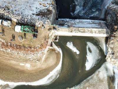
Site Modeling – Hydrology Study
This 3D model was developed as part of a hydrological study study performed by MCS. Additional products resulting from this nadir flight are high resolution aerial photography, digital surface model (DSM), and 2′ contours.

Quantities Calculations
3D Mapping using high resolution drone images provides accurate and timely volume determinations as well as 3D site model, digital surface model, and contours.
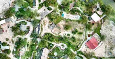
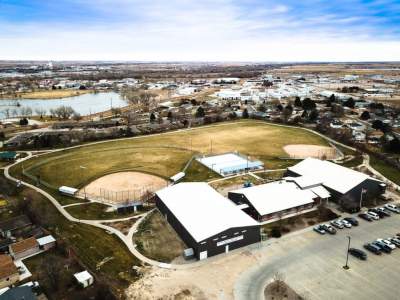
Conceptual Planning
High resolution, up-to-date imagery for conceptual planning and design, site maps, presentations.

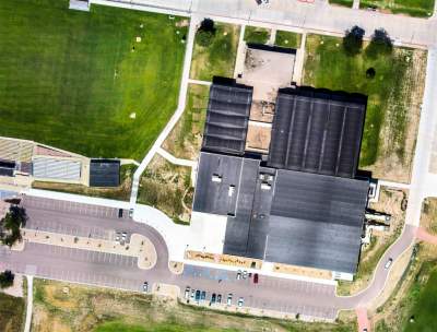
Indoor Orthomosaic
What better way to picture your indoor facility, processes, and inventory than with a view from above. High resolution detail of complex industrial sites provide just the perspective needed for managing complex logistics.
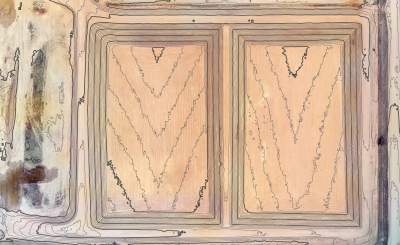
Landfill Contours
As-built, digital surface model, contours, aerial imagery
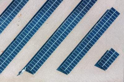
Solar Panels
Site Promotion
Geotech